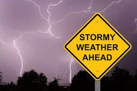
The National Weather Service says a brief stretch of dry weather today will give way to a much more active pattern beginning late tonight. Multiple waves of showers and thunderstorms are expected to move across the region from tonight through Friday night.
Forecasters say widespread rainfall totals of 1 to 2 inches are possible, offering some much-needed relief to ongoing drought conditions. However, uncertainty remains regarding the exact placement of the heaviest rainfall and any potential for severe storms. Current indications suggest the highest risk may focus along and south of the main storm track.
Despite the unsettled weather, temperatures will stay unseasonably mild, running above normal into early next week.
Conditions are expected to briefly quiet down over the weekend with dry weather returning, but another system is set to approach by Sunday night into Monday, bringing more showers—and models suggest yet another system could arrive by mid-week.