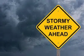


The National Weather Service says a considerable risk of severe thunderstorms could happen across much of the region today, (Thursday). Residents should be prepared for the possibility of damaging winds, tornadoes, and hail as temperatures climb to the upper 60s.
A sharp change is expected after a cold front moves through later today. On Friday, skies will clear and temperatures will drop significantly, with highs only reaching the low 50s.
The weekend will bring a further decrease in temperatures, with daytime highs falling into the upper 30s and low 40s. This marks a return to more seasonable conditions for the area.
Looking ahead to early next week, forecasters predict cooler-than-normal temperatures, with highs ranging from the mid-30s to mid-40s under tranquil, sunny skies.
Authorities urge residents to stay weather-aware and monitor updates as the severe weather threat unfolds.