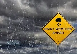
The National Weather Service reports that showers and thunderstorms are forecast to develop across Southern Illinois and the Tri-State area today (Wednesday). Some storms could produce small hail, with a marginal to slight risk for severe thunderstorms in much of the region Wednesday afternoon and evening. Temperatures are expected to remain significantly above normal throughout the week, with highs and lows running 10 to 25 degrees above average.
Widespread and heavy rainfall is possible, with totals generally ranging from 1 to 3 inches between tonight and Saturday night. This precipitation is expected to be beneficial for the area. A brief lull in storm activity is anticipated on Friday, with only isolated showers and storms likely.
Rain and thunderstorm chances are forecast to increase significantly again late Friday night and continue through much of Saturday. Stronger storms could develop, and the situation will be closely monitored for potential severe weather, especially regarding timing and storm formation. While widespread significant impacts are not anticipated, brief ponding on roadways during periods of heavy rain is possible.