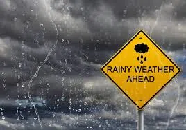

After pleasant weather on Memorial Day, the National Weather Service says the region will see increasing chances for showers and thunderstorms through the middle of the week.
Forecasters say widespread showers and a few thunderstorms are expected across the area today (Tuesday), with rain continuing into Wednesday for much of the eastern half of the Tri-State region. Rain chances are expected to remain elevated across southeast Missouri through Friday night, while other areas should gradually begin drying out.
Temperatures throughout the week are expected to remain near seasonal averages, with daytime highs in the upper 70s to lower 80s and overnight lows generally in the mid-60s through the work week. Cooler overnight temperatures closer to normal are anticipated by the weekend.
While periods of rain are expected, the National Weather Service says any localized downpours should be brief in duration.
Forecasters also say a stronger weather system is expected to move eastward by Wednesday night, helping clear much of the region and bringing drier conditions into next weekend for most locations. Temperatures behind the system are expected to cool slightly while still remaining comfortable.