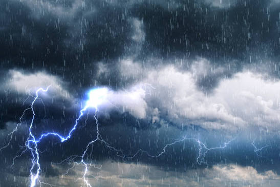
The National Weather Service in Paducah says another cold front will move through the region early today, bringing showers and thunderstorms to southern Illinois.
While severe weather is not expected, forecasters say a few storms could become strong before weakening as they move across the area. Storms are expected to diminish into showers during the afternoon.
Another round of thunderstorms is possible tonight into Friday morning, followed by additional chances for scattered storms on Friday.
Looking ahead, Saturday is expected to be drier, with hot and humid conditions returning for the remainder of the weekend.
Heat index values are forecast to climb into the low 100s by Sunday and Monday, and dry weather is expected to continue through about next Wednesday. Residents are encouraged to stay hydrated and take precautions if spending extended time outdoors as the heat builds once again.