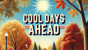
Forecasters at the National Weather Service in Paducah, Kentucky say the southern Illinois region could see its first snowflakes of the season Sunday and Sunday night, as a blast of colder air is expected to move into the region late tonight, and last into early next week. A quick warmup is expected by the middle of the week. Hard freezes are expected Sunday night and Monday night.
The extended forecasts for the area, running through November 21st show above normal temperatures expected, and near normal precipitation in the 6 to 10 day outlook, and above normal in the 8 to 14 day outlook.
There has been some improvement in the southern Illinois region, according to the latest U.S. Drought Monitor Map. It shows northern Wayne County still in Moderate Drought conditions, and the southern part of Wayne County in Abnormally Dry conditions, with areas to the south not being shown in any dry or drought conditions. Most of central and northern Illinois is still in a Severe Drought, and parts of east-central Illinois is in Extreme Drought conditions.
Area rivers remain low. The stages as of this morning: Little Wabash River east of Fairfield is 6.13 feet. Flood stage is 17 feet. At Clay City the reading is 4.03 feet. Flood stage is 18 feet. At Carmi the river is at 3.38 feet. Flood stage is 27 feet. The Skillet Fork at Wayne City is at 4.99 feet. Flood stage is 15 feet. The Wabash River at Mt. Carmel is at 2.8 feet. Flood stage is 19 feet. Bonpas Creek at Browns is at 1.75 feet.